
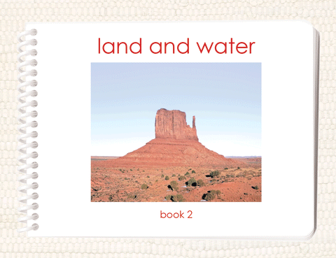
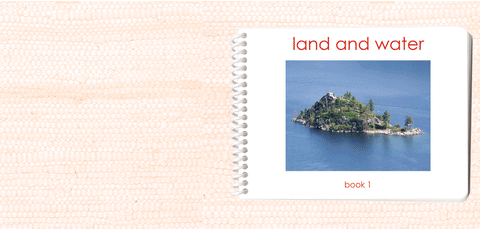
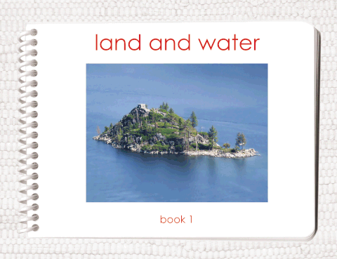
Land & Water 1 3-Part Reading
$19.95 USD
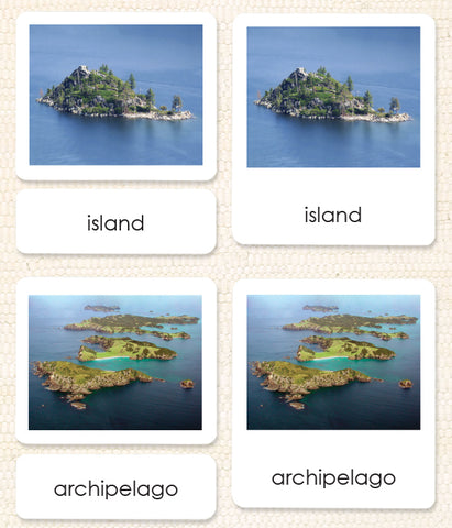
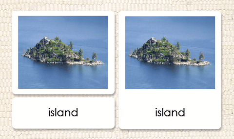
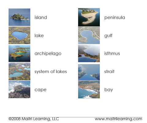
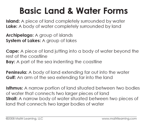
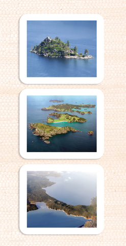
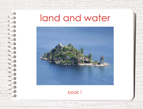
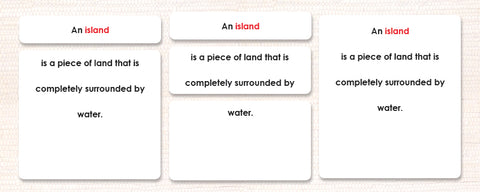
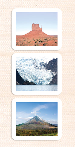
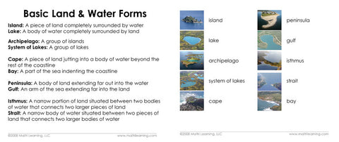
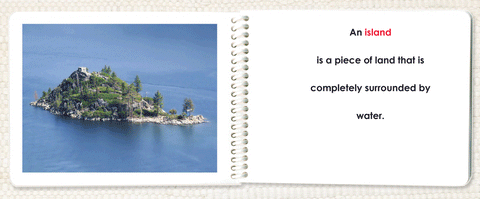
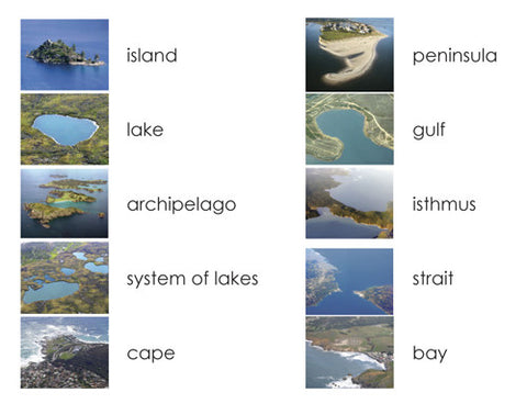
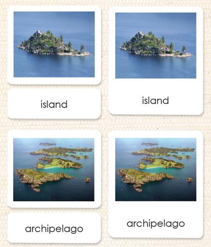
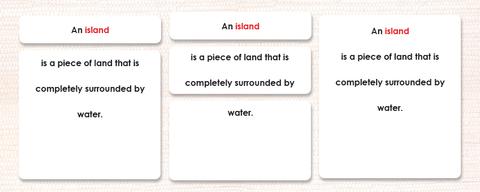
Bring your land & water forms to real-life with these beautiful photos. No more brown and blue line drawings! Now you can use real locations to clearly depict the 10 basic land and water geographic formations of island, lake, archipelago, system of lakes, cape, bay, peninsula, gulf, isthmus, and strait.
Tierra y agua 1 Lectura en 3 partes
Traiga sus formas de tierra y agua a la vida real con estas hermosas fotos. ¡No más dibujos de líneas marrones y azules! Ahora puede usar ubicaciones reales para representar claramente las 10 formaciones geográficas terrestres y acuáticas básicas de isla, lago, archipiélago, sistema de lagos, cabo, bahía, península, golfo, istmo y estrecho.
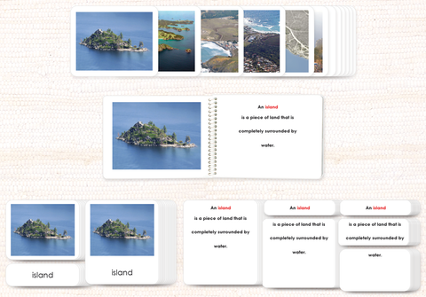
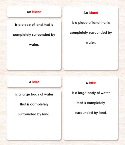
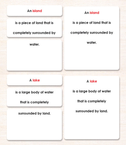
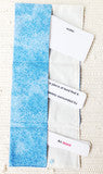
- 3-part format includes photos, labels, and control cards (word and label put together)
- 10 geographic formations that match the land & water trays; 30 cards total
- Rounded corners (no pricked fingers or dog-eared cards)
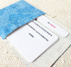
- Comes in a sturdy, clear reclosable bag for storage
- Lesson plan included
These can be beautifully displayed in our 3-pocket cloth pouches (sold separately).
Cards are fully laminated and ready for use. Approximate card sizes are 3¾” x 4¼” (control cards), 3¾“ x 3” (photo cards), and 3¾” x 1¼” (word cards).
Created by a Montessori teacher. Eco-printed by parents/teachers/students in our rural New England office.
Also available in Spanish and Chinese (developed with the AMI Training Center of China).
Made in the USA.
Item #: 3LLAND1
