Imperfect Geography: Series 1
 Rooted in Neurodevelopment
-

See the Guided Lesson Plan
 High quality materials
 Eco-Happy
 Fun & Engaging Activities
Ages/Stages
Common Core
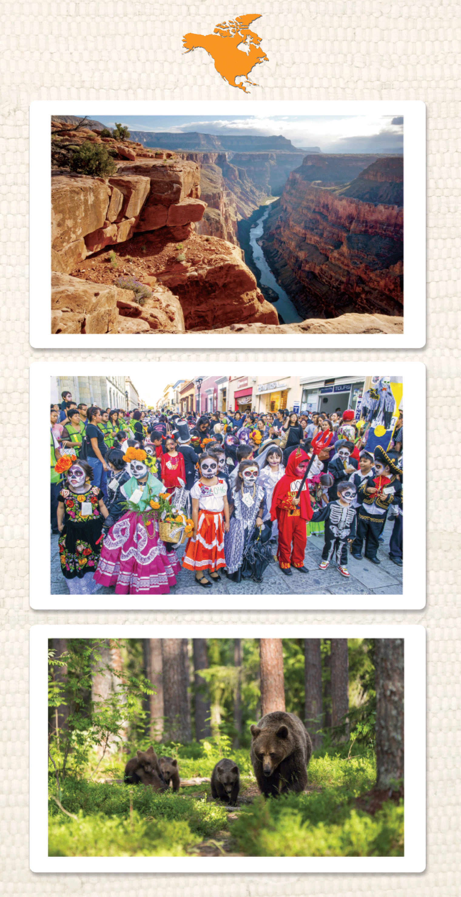
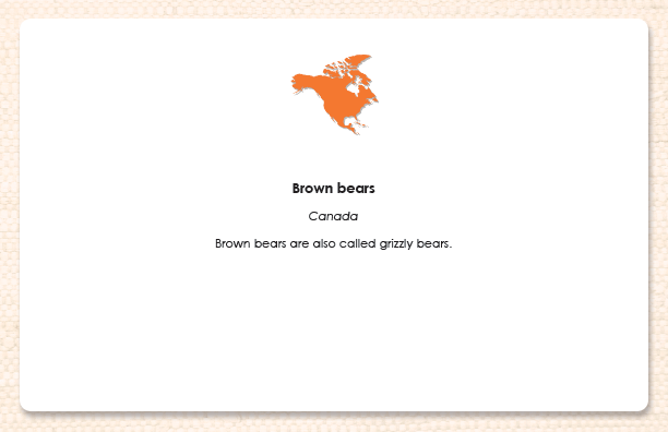
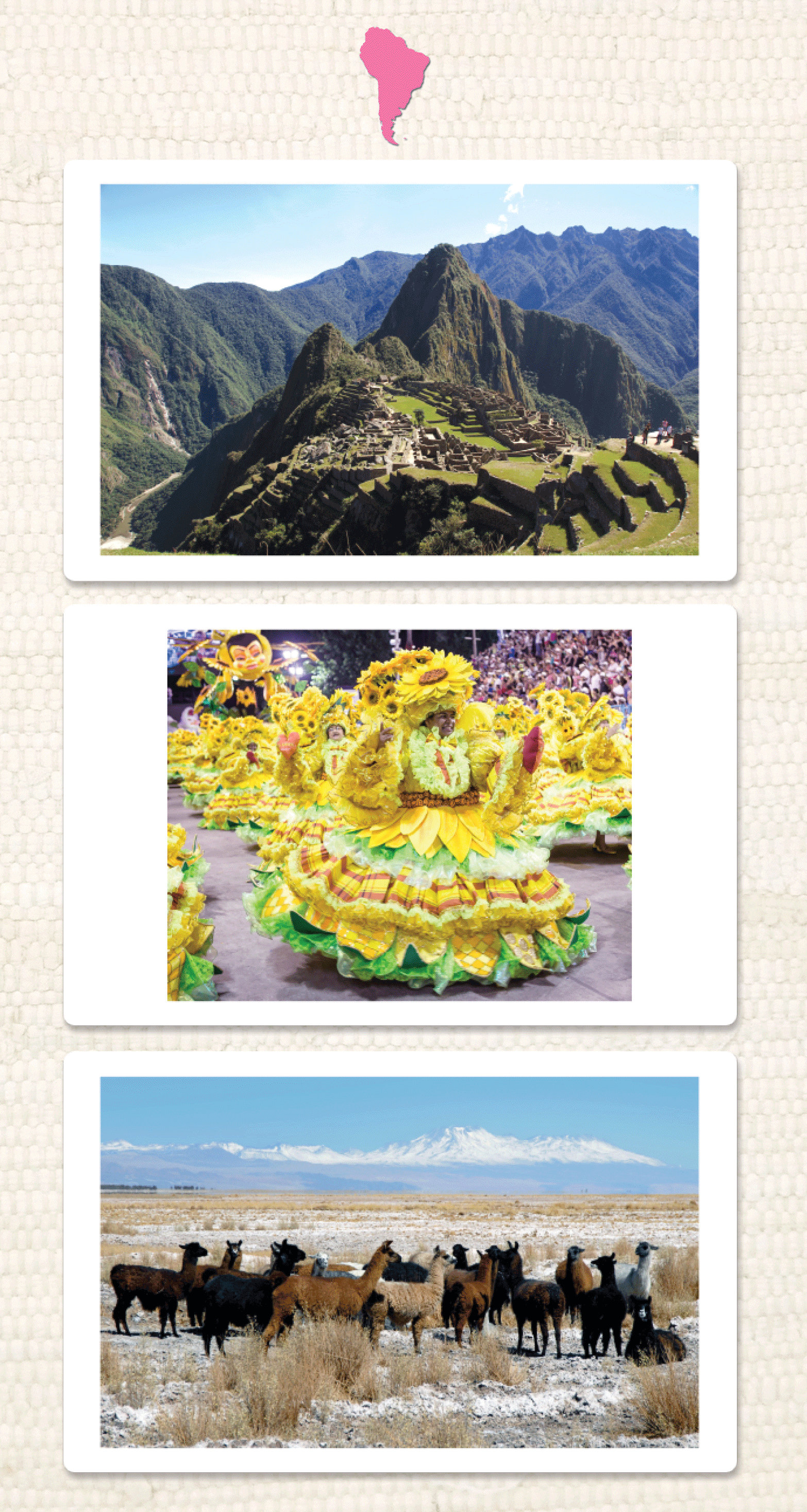
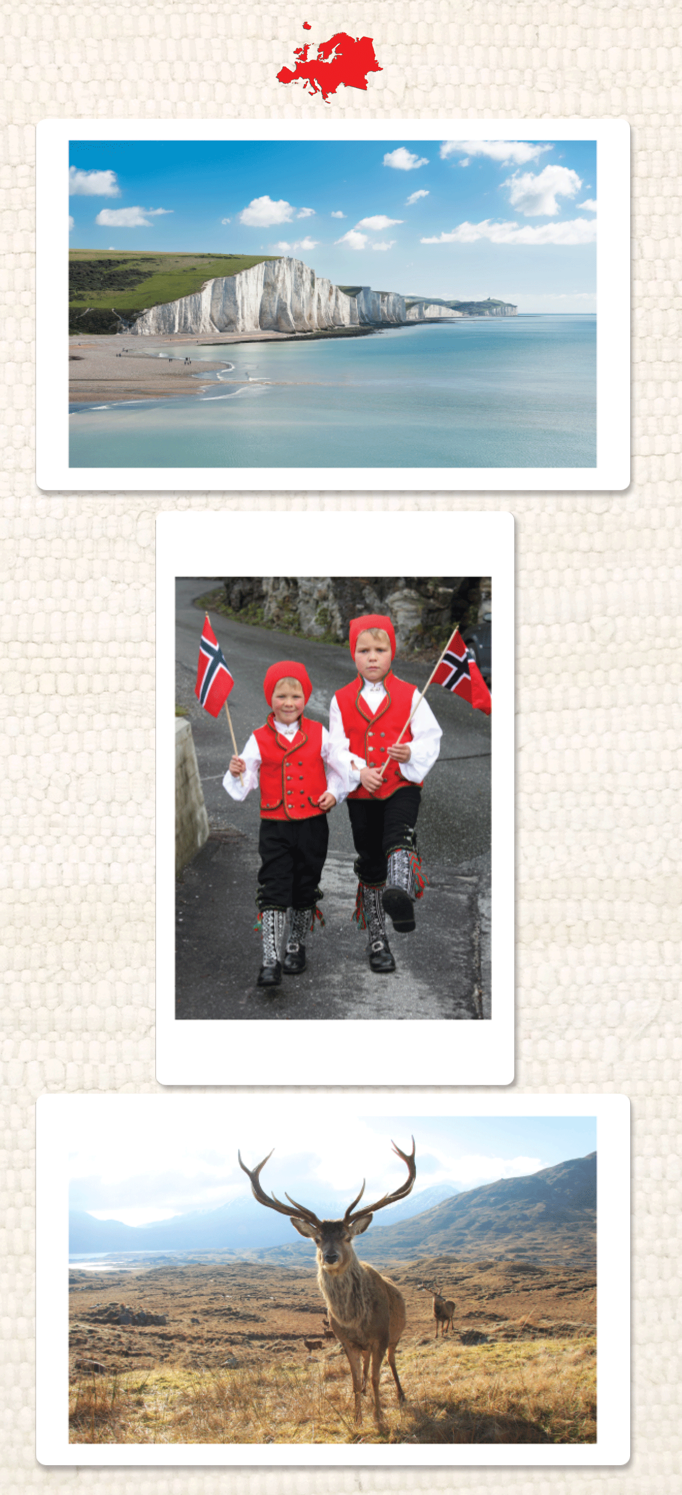
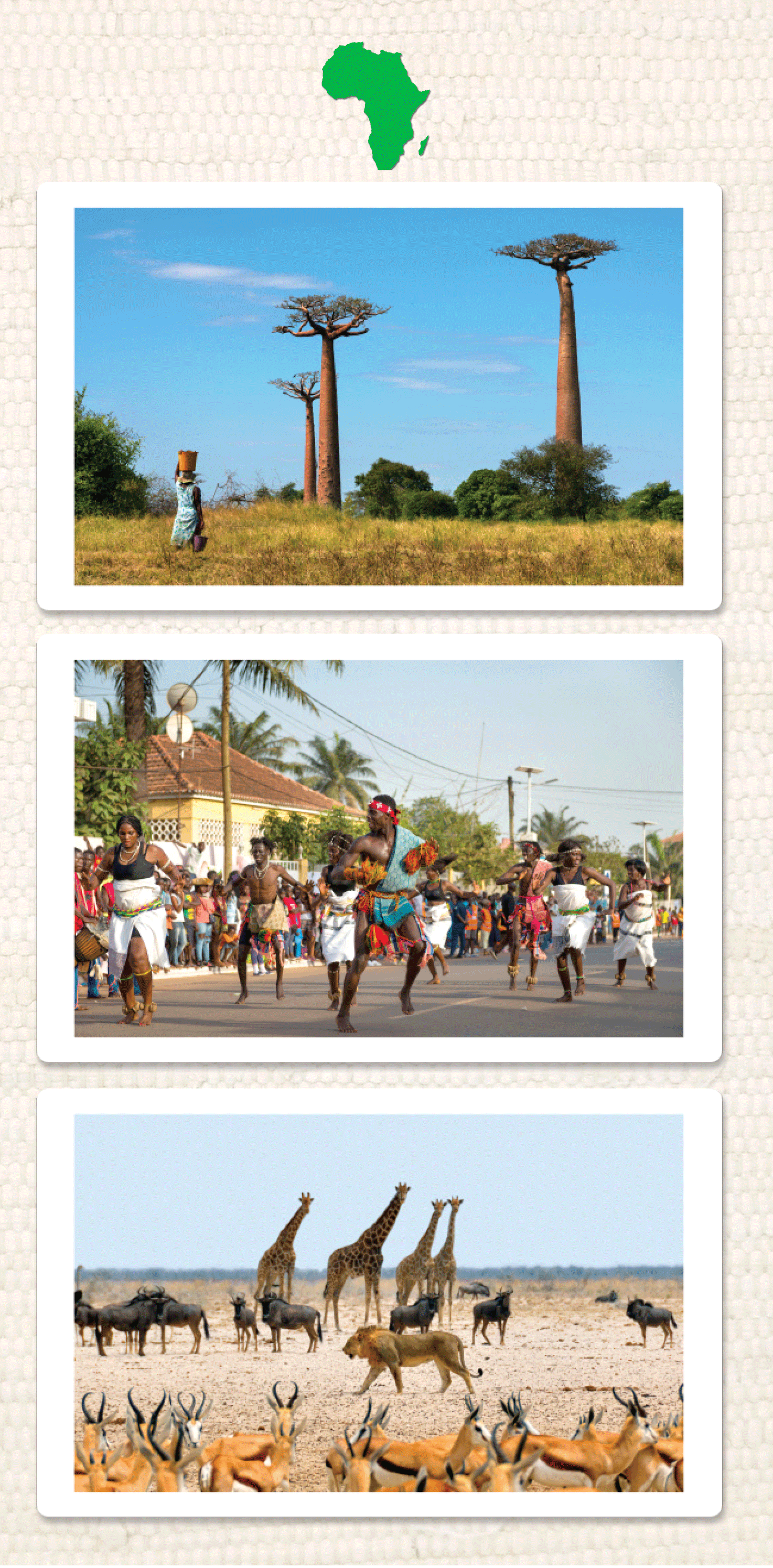
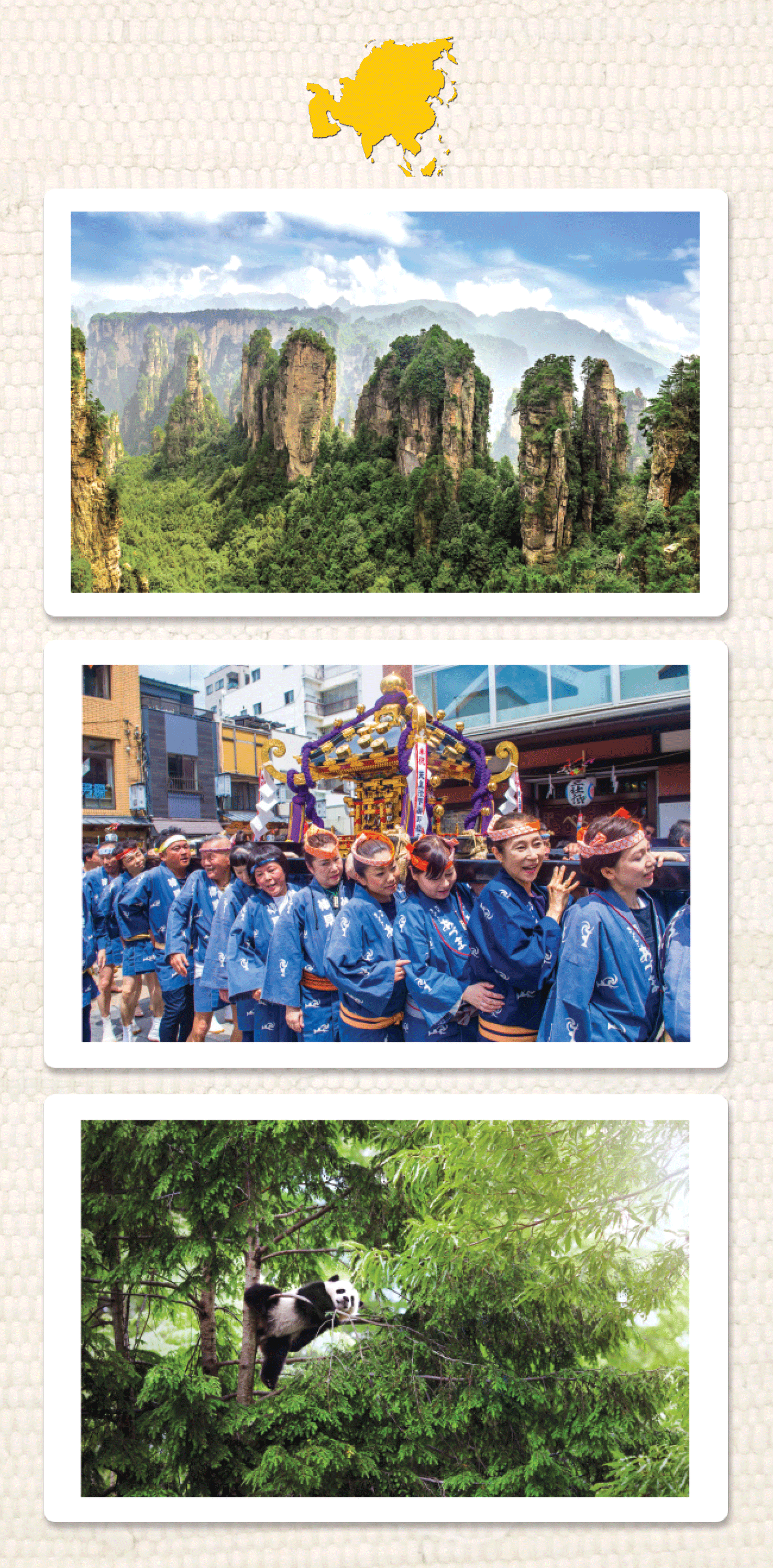
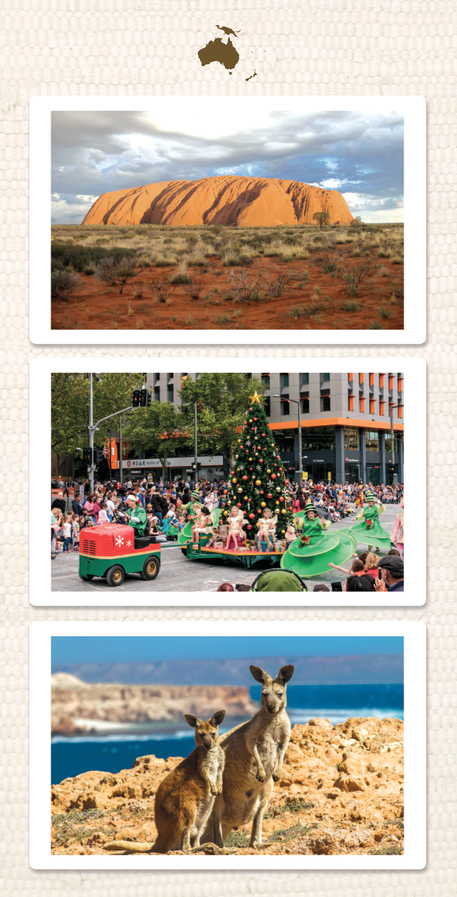
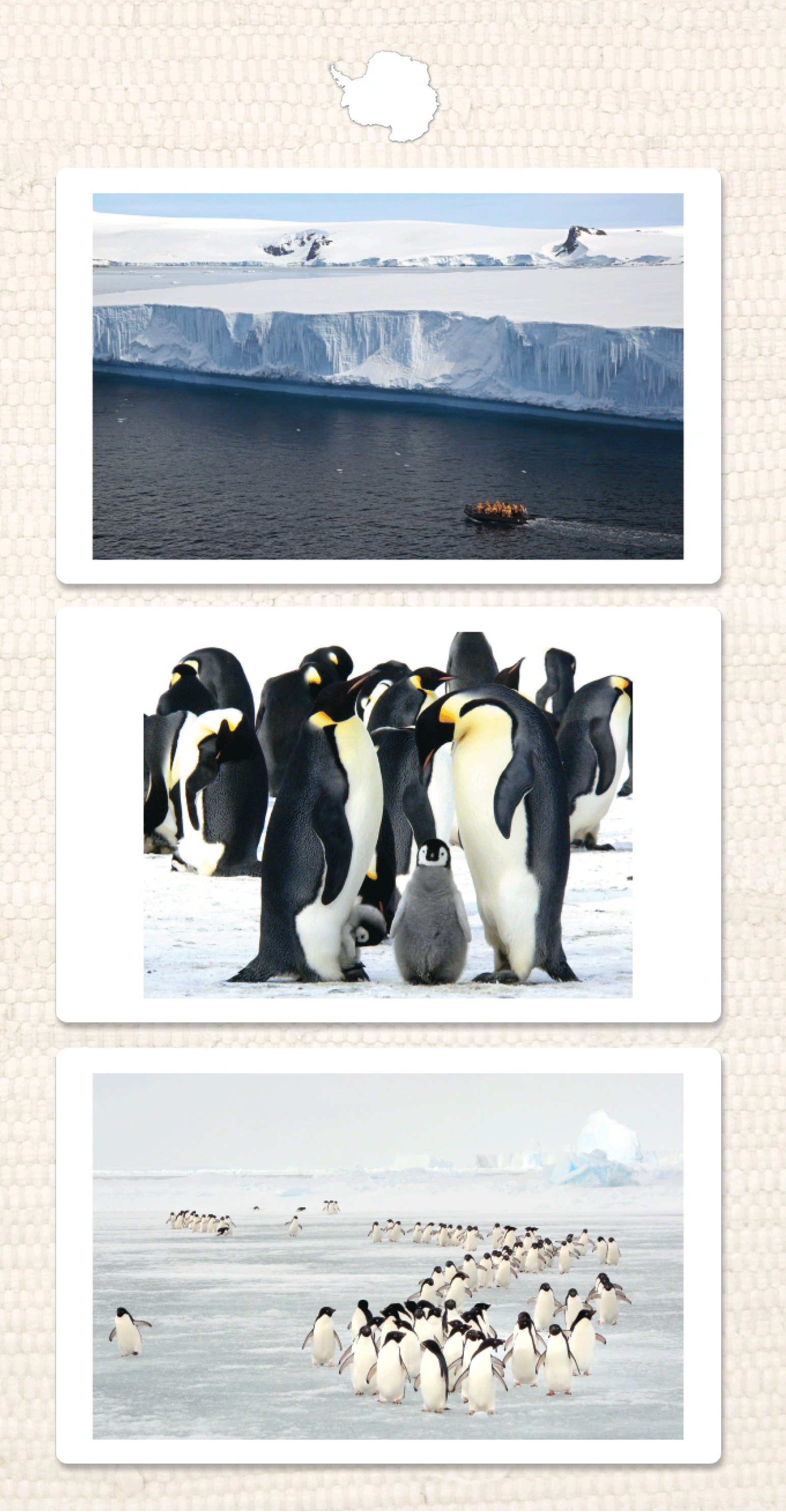
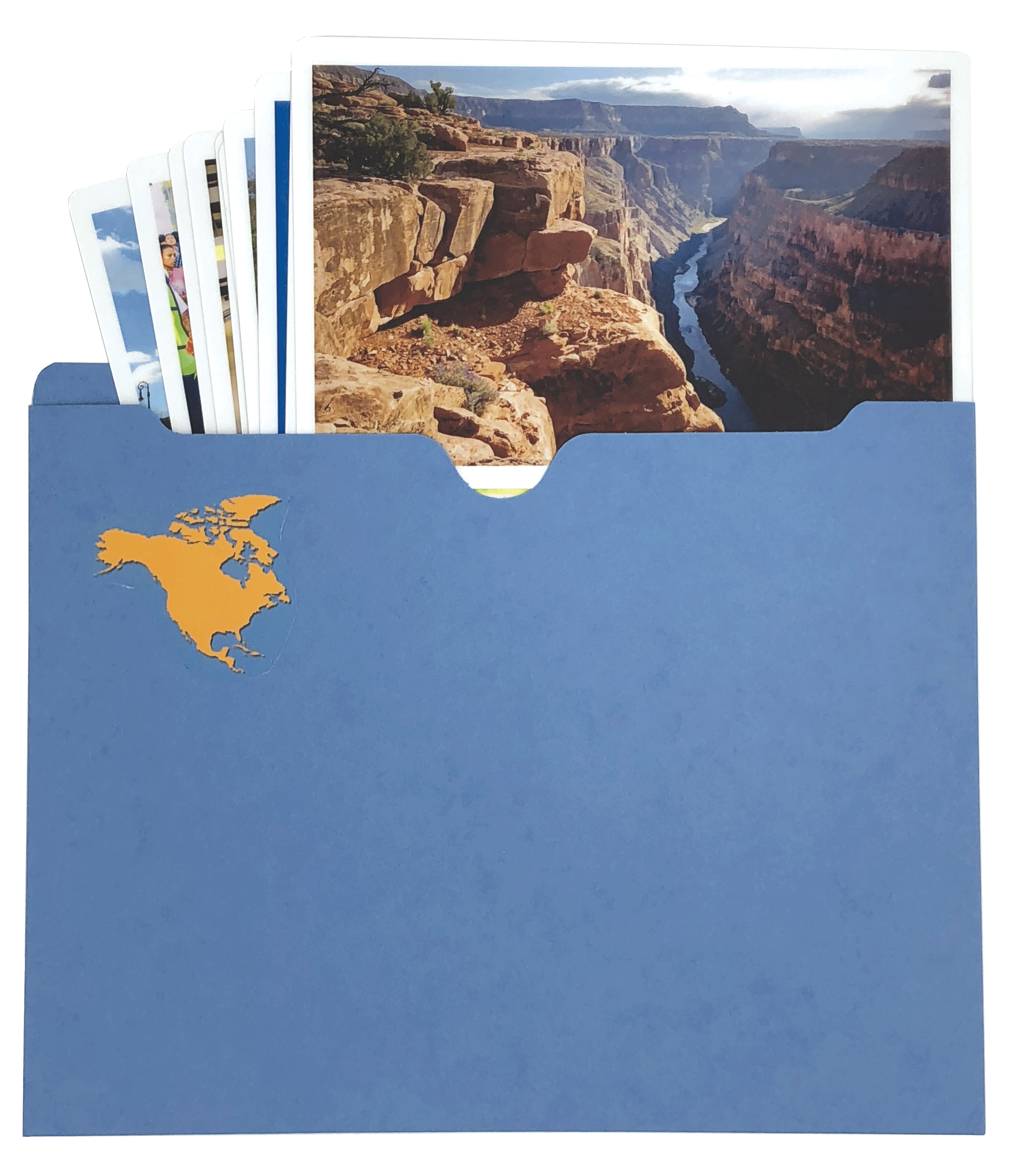
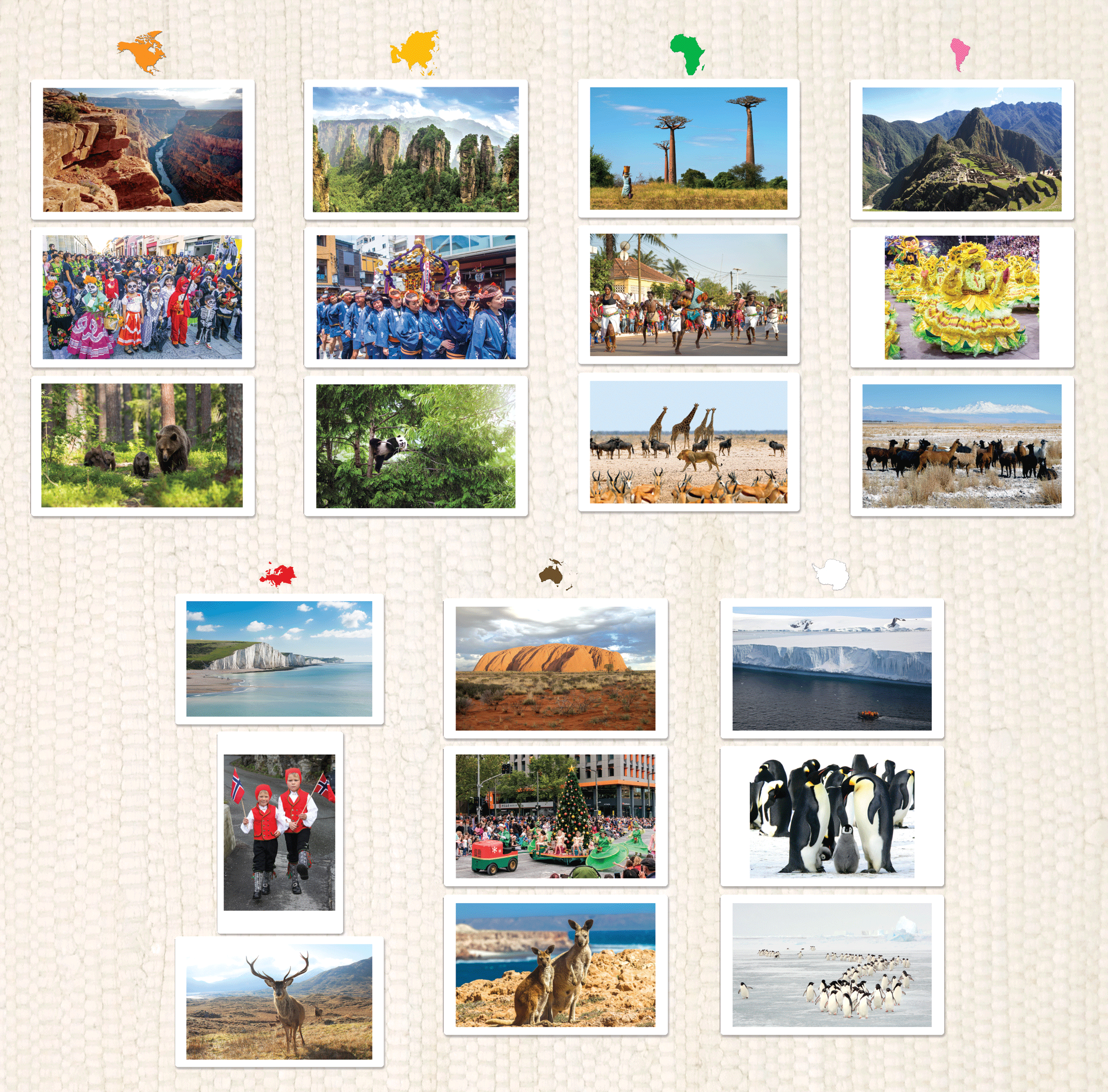
Scratch & Dent Discount: Introduce children to the wondrous variety of landscape and life on Earth through these beautiful photos from around the world.
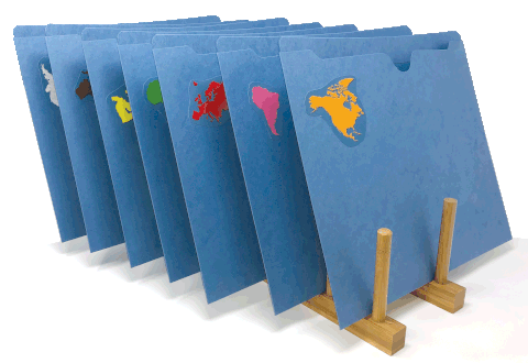
To create an equitable and balanced view of life around the world, each continent packet within a series contains one image for 10 clearly defined concepts/themes. This allows children to compare and contrast clothing, food, transportation, etc. from continent to continent. This balance is not always possible for Antarctica because it has no permanent residents and no flora. However, this will lead the children to question why, for example, are there no parades in Antarctica? That is exactly what we want them to ask!

Many Activities: These inspiring photos rouse the children's natural curiosity and, thus, effortlessly aid the development of expressive and receptive vocabulary. They also create limitless possibilities for meaningful work. Begin by gathering one or a few children, choosing a folder (beginning with the children's home continent), and talking about what everyone sees in each image.
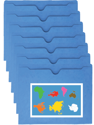
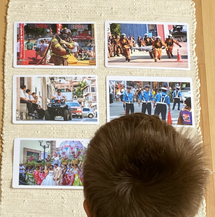
Later, you can use the photos for sorting games by asking which card is from which continent? (Continent pieces not included; we recommend using the pieces from the continent puzzle map.) Then, when the children are writing (with the movable alphabet, chalkboards, or a pencil), use these to inspire the recording process. For example, you can teach the children how to play detective by having one child write about their favorite image and then, later, have another child read it and find the image described. The possibilities are endless!
Product Details
A Note to Montessorians
A Note to Teachers
Choose options
Knowledge Bank
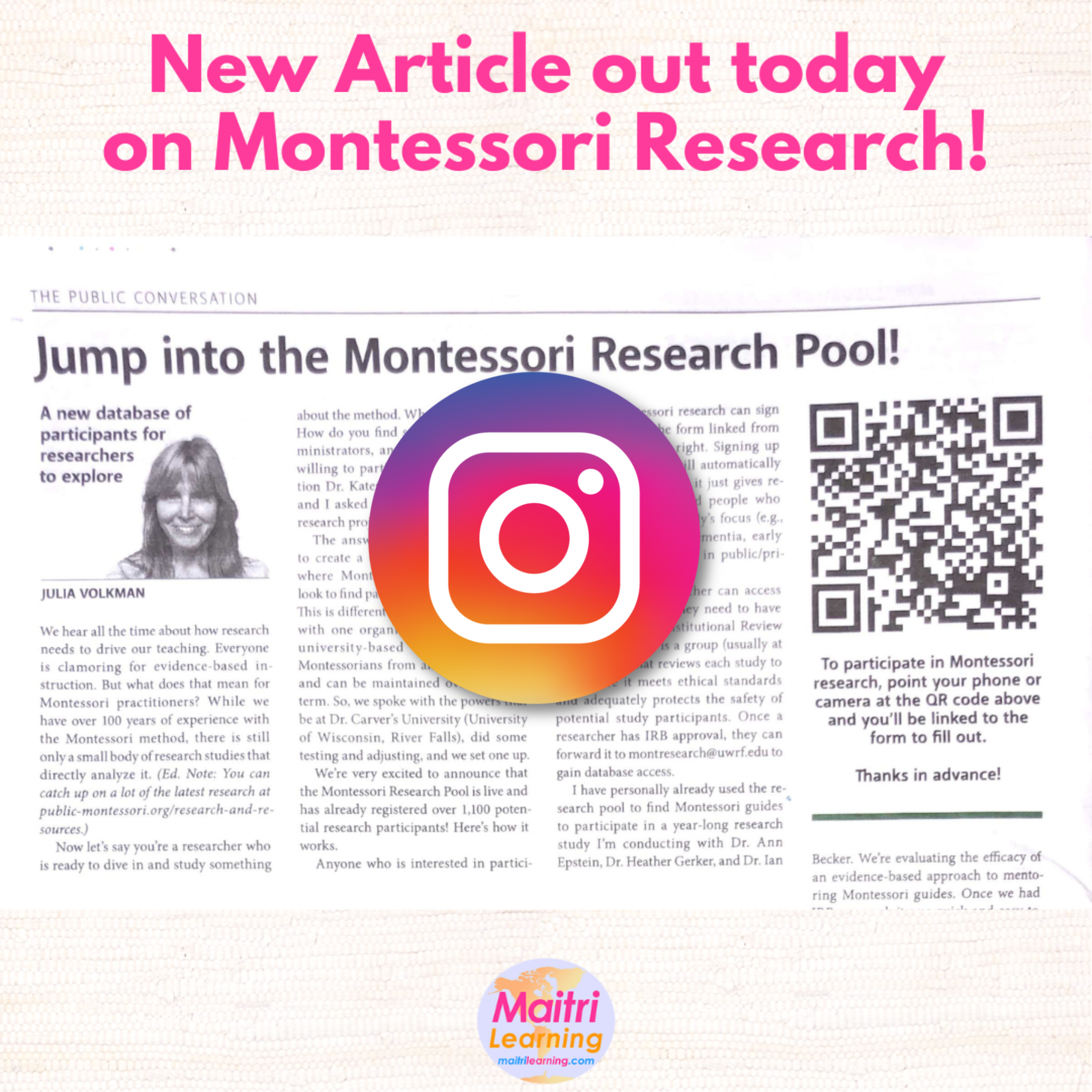
Recommended Articles

Download a PDF of our materials

Follow Us